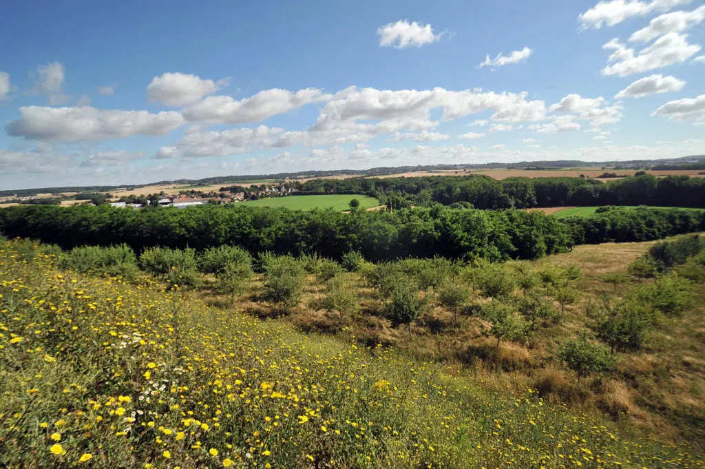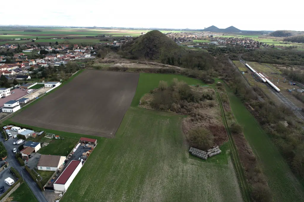
At the foot of slag heap 49, transform a damaged site into a forest and seed orchard.
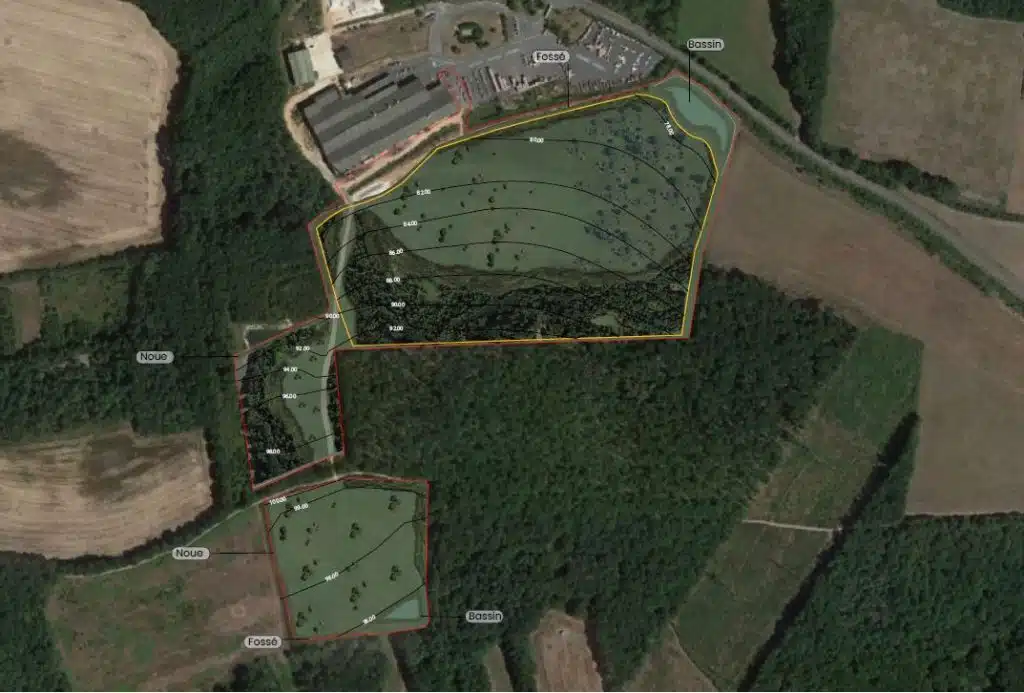
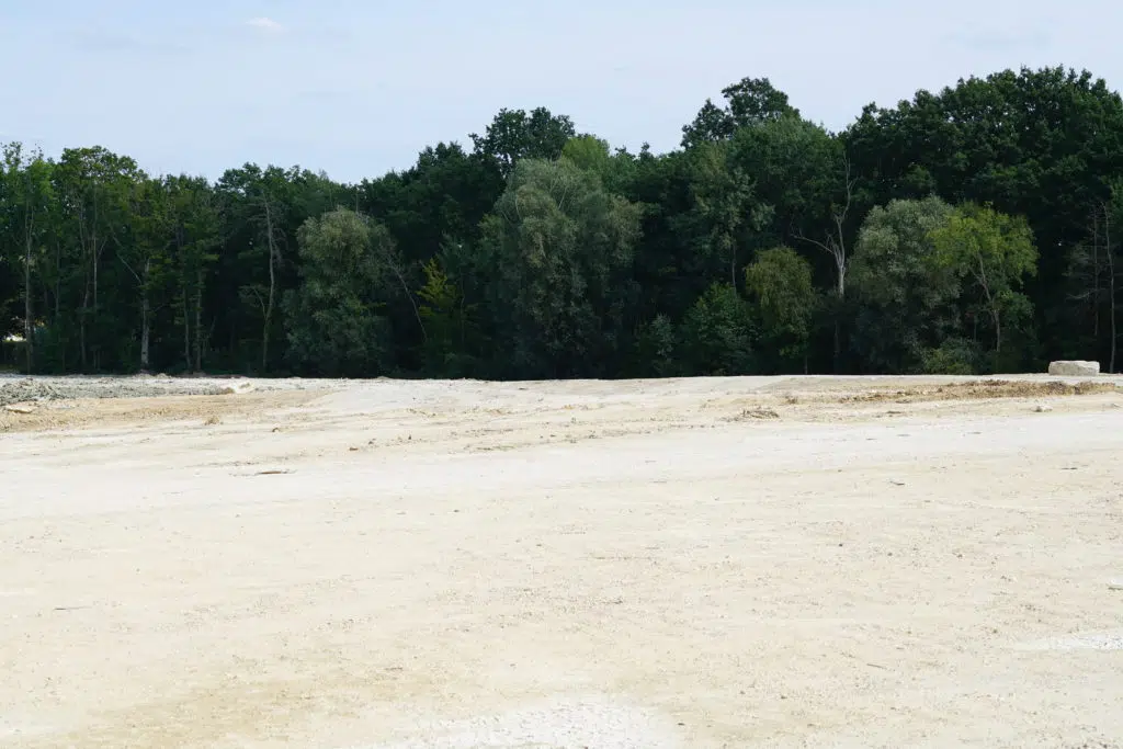
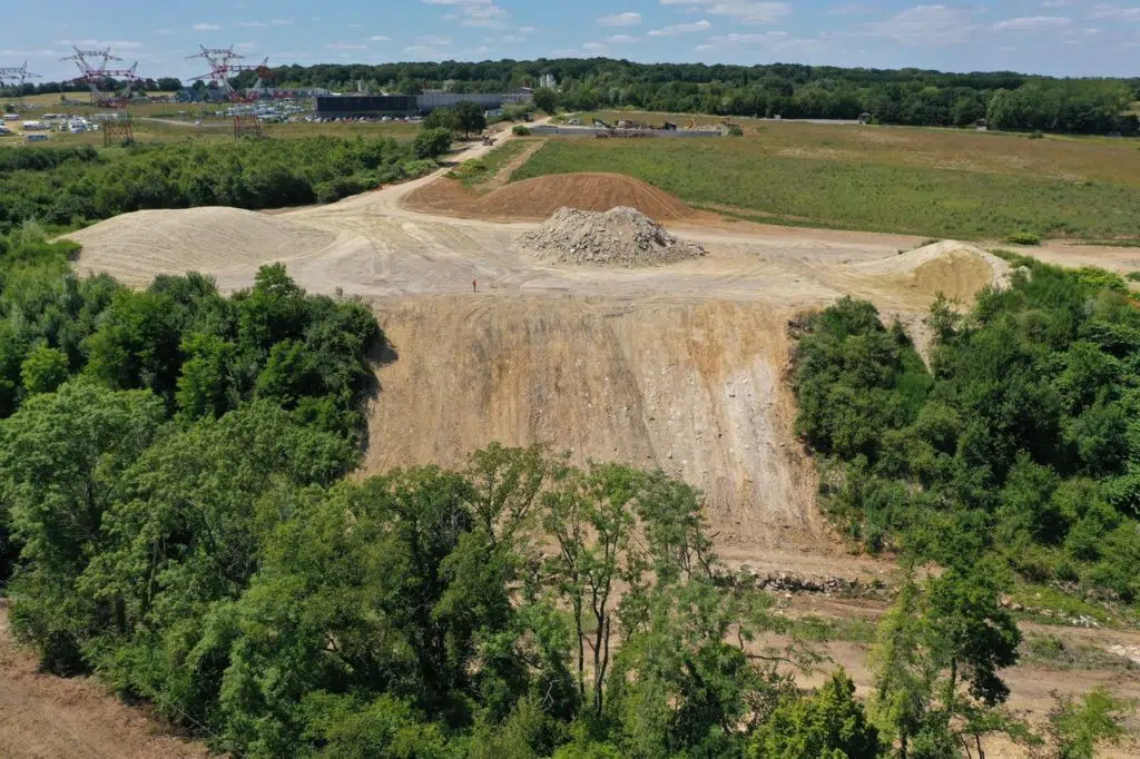
GPS coordinates : Download brochure Types of layout Nature area, reforestation Agricultural vocation Issues : Renaturation Green in the city Farm rehabilitation Recreating environments conducive to biodiversity Status: In operation, soil inputs See the site in operation Project presentation In partnership with the Commune of Mazingarbe, this project aims to redevelop a derelict site at the foot of slag heap 49, by combining the installation of a seed orchard, the creation of an urban forest and the creation of a soft pedestrian walkway. The project also includes agricultural reprofiling for recultivation. The circular economy of soil from local building
At the foot of slag heap 49, transform a damaged site into a forest and seed orchard. Read More »