Landscaping completed

Modélisation du terrain pour la réserve des lions

Developing a natural area as part of the extension of a wildlife park

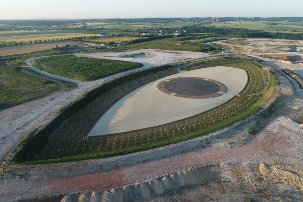
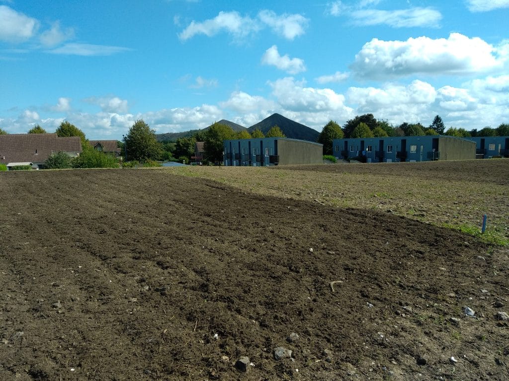
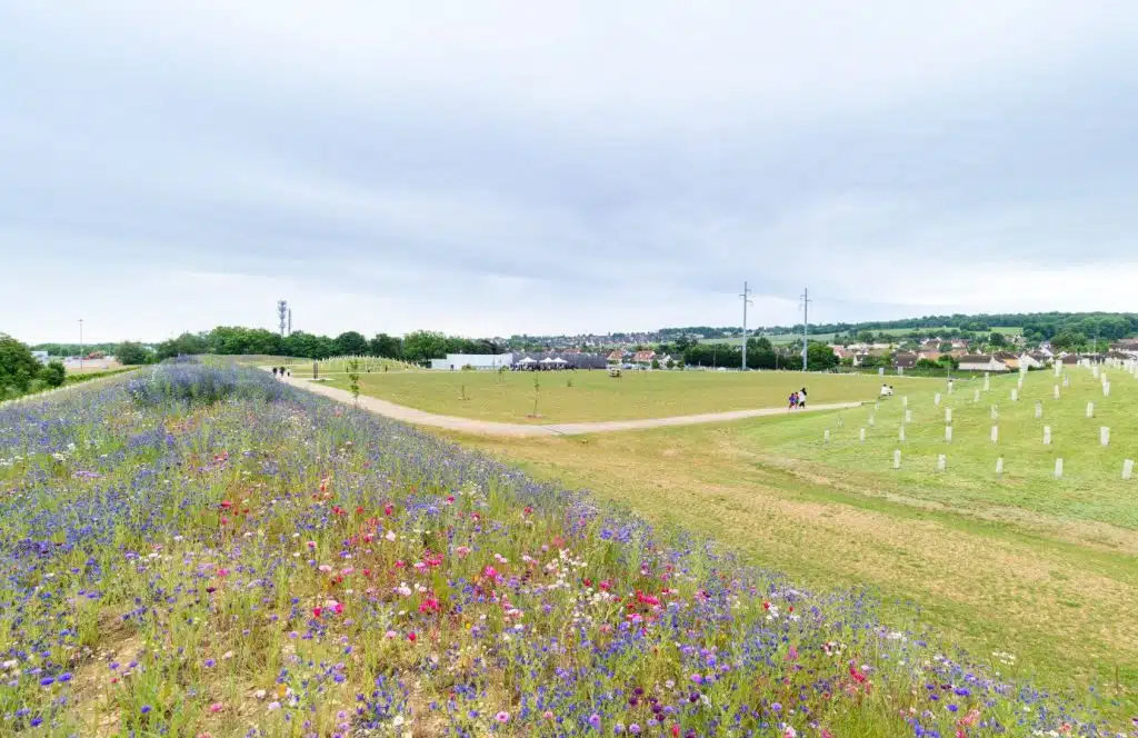
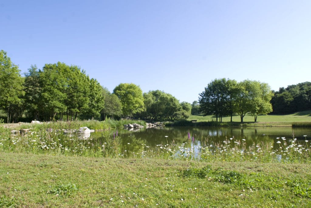
GPS coordinates : Types of layout Natural area Issues : Renaturation Status: Landscaping completed Project presentation During the extension of the ‘Au Royaume des Lions’ animal park, ECT teams raised and shaped an area in front of the new hotel. Self-financed thanks to inert soil, this new natural grassed area is now home to the park’s lions. Key figures 2023 Works start in spring for 4 months 1 hectares of developed surface area Partners Project life https://www.groupe-ect.com/wp-content/uploads/2024/10/Video-Lumigny.mp4 Opposite the new hotel, a new natural area In Lumigny (77), our intervention financed part of the extension of the animal park. The

Developing a natural area as part of the extension of a wildlife park Read More »

Loison-sous-Lens - Gay Lussac - photomontage du parc© Voila Graphic

A new green space: the Square de la Pierre bleue

GPS coordinates : Types of layout Leisure and relaxation area Issues : Renaturation Green in the city Status: Finalizing the layout Project presentation This project, carried out in collaboration with the municipality of Loison-sous-Lens, is part of the development of Cité 8.  “It was essential to enhance this derelict plot of land. Thanks to our partnership with ECT Hauts-de-France, we were able to design a leisure park, entirely financed by soil from local construction sites.”  David Guidé, Deputy Mayor of Loison-sous-Lens Key figures November 2023 Start of earthworks for 1 month and resumption of modelling in June 2024 1 trees

A new green space: the Square de la Pierre bleue Read More »

L’Œil du Ciel, a land art work by Antoine Grumbach on the ECT site at Villeneuve sous Dammartin

GPS coordinates : Download the brochure Types of layout Landscaped urban park Issues : Green and nature in the city Land art – Regional appeal Status: Realized Project presentation At its largest site for the reuse and recovery of excavated soil, ECT wanted to create something truly exceptional, a park open to all. Architect and artist Antoine Grumbach imagined 2 400-metre-long eyes: Les Yeux du Ciel. The Oeil Ouest is now complete and visible from aircraft at nearby Roissy CDG airport. Key figures June 2022 Start of earthworks 100 trees 200 plants march 2023 Completion of work and planting 100

L’Œil du Ciel, a land art work by Antoine Grumbach on the ECT site at Villeneuve sous Dammartin Read More »

Transforming derelict land into a site for local urban market gardening

GPS coordinates : Download brochure Types of layout Urban farm Issues : Renaturation Green in the city Status: Landscaping completed Project presentation This local urban market gardening project is being carried out in partnership with the Grenay municipality and the Activ’Cités local authority.  The local association carried out preparatory work to clean up the site (removal of garbage and elimination of Japanese knotweed). In May, land from local worksites  will be used to create 5 market gardening zones and an orchard covering a total area of 3,300 m².  Key figures May 2023 Soil contributions for a period of 1 month

Transforming derelict land into a site for local urban market gardening Read More »

Safety work at Arnaudet quarries

GPS coordinates : Download the brochure Types of layout Securing the underground quarry Issues : Site security Status: Landscaping completed Project presentation Meudon town council has launched a call for tenders to secure the Arnaudet de Meudon underground quarry. In a consortium with Spie Batignolles and Sefi-Intrafor, ECT carried out work to secure the quarry by reusing materials excavated by the construction industry. Key figures 2022 September start of 8-month work to secure the galleries 45 % of the backfilled quarry 1 kms is the average distance from the sites where the soil used for backfilling is excavated. 1 levels

Safety work at Arnaudet quarries Read More »

Inauguration parc Buchelay - Mai 2025

Revitalizing a town entrance, a new park open to all

GPS coordinates : Télécharger la brochure Types of layout Landscaped urban park Issues : Green in the city Status: Landscaping completed Project presentation The project proposes to develop a site along the A13 freeway. It will enable the commune of Buchelay to continue revitalizing its town entrance. The perception of the site will change significantly: the new park will create a sound and visual barrier with the road infrastructure, providing a landscape transition. Objective: to improve the neighborhood’s living environment and quality of life. The new park is a continuation of the Plaine des Sports Grigore-Obreja sports complex, an invitation

Revitalizing a town entrance, a new park open to all Read More »

Transformation of a wasteland into a platform for municipal services

GPS coordinates : Types of layout Platform layout Issues : Brownfield redevelopment Status: Landscaping completed Project presentation The plot, formerly an abandoned wasteland and now a communal landfill site, is being rehabilitated to create a materials storage and composting platform for municipal services. The special feature of this project is the ultra-local proximity of the land excavation site, a real estate project, located in Crespières itself. Key figures 6 months for the completion of the project: from July to October 2022. 1 trees planted Project life The “Flambertins” wasteland begins its transformation July 2022 – Start of rehabilitation work on

Transformation of a wasteland into a platform for municipal services Read More »

Securing a derelict site by creating an urban park

GPS coordinates : Download the brochure Types of layout Landscaped urban park Issues : Green in the city Status: Finalizing the layout Project presentation The project supported by Porcheville town council and ECT makes a dangerous site safer and enhances the southern entrance to the town’s leisure centre. It provides a new shared space for relaxation and walking. And a belvedere with a beautiful view of the surrounding area. Key figures 2022 July, start of development with 2 months of earthworks 2022-2023 Autumn, park landscaping and tree planting Partners “The town’s desire to make the southern entrance to the Porcheville

Securing a derelict site by creating an urban park Read More »

Shaping Georges Valbon Park, from plain to belvedere

GPS coordinates : Types of layout Landscaped urban park Issues : Green in the city Sport in the city Status: Landscaping completed Project presentation The park covers 400 hectares. It has been created from scratch and shaped entirely artificially. In the 1970s, landscape architects Allain Provost, John Whalley and Gilbert Samel, commissioned by the Seine-Saint-Denis département, developed the park by creating belvederes, valleys, hills and an impressive succession of lakes. The park has now been awarded the Natura 2000 label. It is characterized by the diversity of its environments: woodlands, lawns, wild meadows, flower gardens and lakes. ECT’s “ancestor” managed

Shaping Georges Valbon Park, from plain to belvedere Read More »

Pour recevoir
les dernières actualités d'ECT